


The abolitionist John Brown lived in this house and provided shelter for slaves in the attic during the summer of 1859 while planning a revolt at Harper's Ferry.
This park was created in 1993 to commemorate the route slaves may have taken during their escape. Guided tours are available by appointment.
Located at the intersection of Baltimore and Aisquith, the school was built by John McKim's sons in 1821. Opening in 1833, it was the first free school in Baltimore.
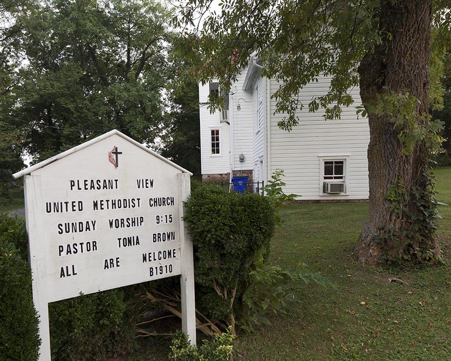
Starting in 1847, the Rev. David Hillhouse Buel and Samuel Denson worked together at the Emmanuel Parish of the Episcopal Church. The church which was located near the "Shanty Town" section of Cumberland was accessible by the C&O Canal. Denson utilized the church bell and underground passages of the church and neighboring buildings while aiding the slaves in their escape. The church was only 4 miles from the Mason Dixon line, which for many escaped slaves was the last stop on the UGRR
While this isn't the actual Harriet Tubman was raised in, this is the property she grew up on.
Arguably the birthplace of the Underground Railroad; the Bucktown Village store is where a slave owner requested the help of Harriet Tubman in finding an escaped slave. Upon her refusal, he struck her in the head with a rock which lead to her suffering from seizures for the remainder of her life.
Fugitives used the tracks as a guiding point from Harpers Ferry, WV across Frederick and Carroll county to Baltimore.
On April 15, 1848, abolitionist Daniel Drayton brought his boat the Pearl to the dock to help two slaves escape before they were separated by their owners. Upon arriving the two had grown to a crowd of 78 slaves ready to escape. The overloaded boat ran into crosswinds which hindered their getaway and they were caught by a steam powered boat at Point Lookout. Daniel Drayton was caught fined $10,600 and sentenced to four years in jail. He was later pardoned by President Fillmore.
Beginning of the Slave Trail
The Richmond Slavery Reconciliation Statue completes the triangle of Richmond; the city of Liverpool, England; and the Republic of Benin, each of which played a prominent role in the slave trade. Three identical statues symbolize a commitment to new relationships based on honesty and forgiveness.
The vault in the back of cemetery was a safe place for temporary refuge and people would occasionally leave food for the fleeing slaves.
From 1842 until 1862, Aquia Landing was the terminus of the Richmond, Fredericksburg, & Potomac Railroad. It was the only access to steamship by rail and an important connection point between northern and southern ports. Its key location on the Potomac and easy access to different modes of transportation made Aquia Landing an important access point through which an estimated 10,000 slaves passed on their way to freedom by way of rail and boat.
Last stop before reaching freedom in Canada